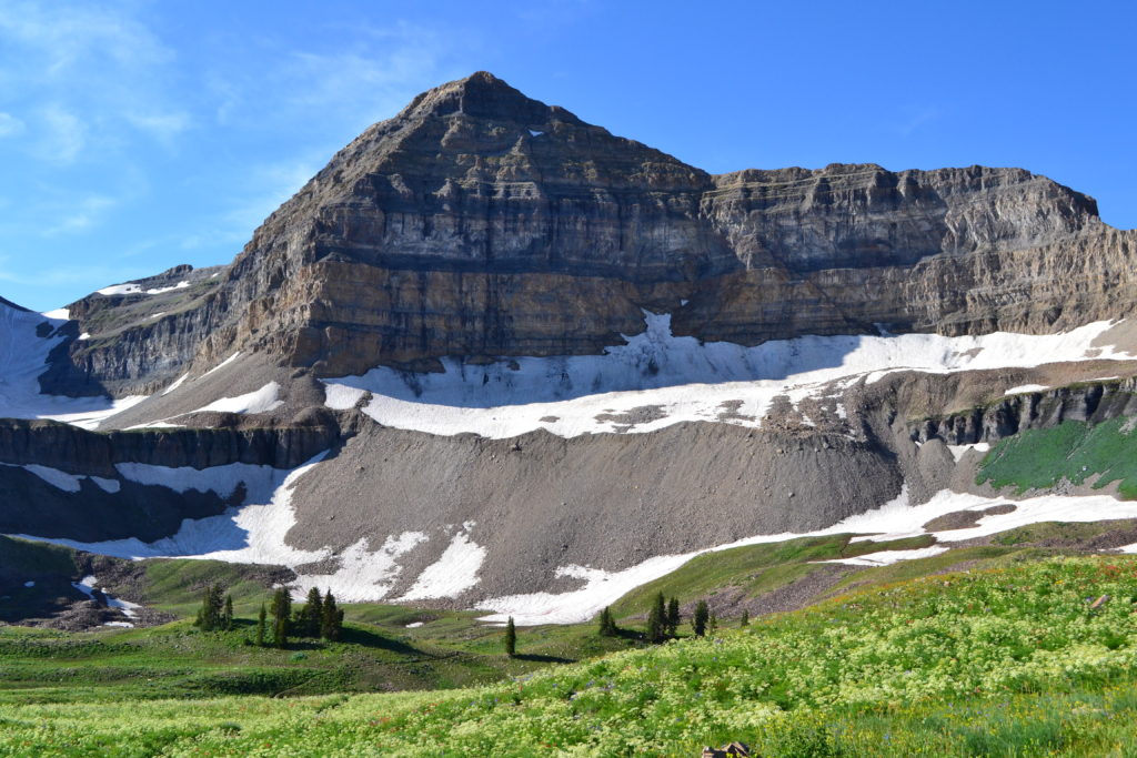
Danish immigrant Martin Hansen stopped for a rest before heading home after a day of work. Hansen was high in the Wasatch Mountains of Utah, on the flanks of Mount Timpanogos, named for the Native Americans who lived there over thousands of years. He was a logger, and the high demand for timber in the American Fork Canyon in 1887 meant he had to climb higher up the mountain every day to access suitable trees. He leaned his ax against a tree and walked home.

When he returned the next day, he noticed mountain lion tracks in the overnight snowfall. He followed the tracks up the mountain until they disappeared into an opening in the rocks. Hansen had discovered a cave in a strange place—high on a mountainside. As we now know, the cave had been formed first by shifts in the earth’s crust along fault lines; only then did underground water flowing through the fissures begin the erosion and deposition processes that created the extensive cave.
Hansen and his family began giving tours of the cave, first leading explorers up the cliffs on a series of nearly vertical log ladders and then showing off the beauty inside the cave. Now named for Hansen, his cave was the first of three discovered along the cliff. Timpanogos Cave was found in 1913, then lost, and rediscovered in 1921. The third, Middle Cave, was also discovered in 1921, by Hansen’s grandson and nephew.

The caves were being badly plundered for their unusual formations and accessible veins of black onyx. Consequently, President Warren Harding proclaimed the cave system a national monument on October 14, 1922, noting that it was of “unusual scientific interest and importance, and it appears that the public interest will be promoted by reserving this cave…”
The park is small—only about 250 acres—and hard to access. Although the log ladders are gone, visitors must still ascend a steep 1.5-mile trail before reaching the caves. Access to the caves is only through guided tours by park rangers—with a warning that the experience is strenuous, dirty and only for those in good physical condition. Still, well over 100,000 people make the journey every year.

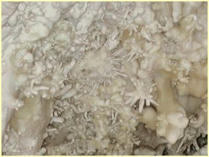
Most, I’m sure, are glad they made the effort. The caves are noted for their abundance of helictites, small branching and curved formations that resemble coral. Helictites begin as thin stalactites, but instead of water dripping down the formation, it evaporates in place, slowly building thin tubes that spread randomly in all directions.
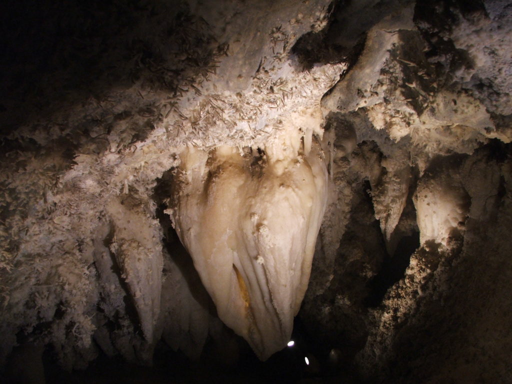
A central feature of the cave complex is the “Great Heart of Timpanogos,” a large stalactite that resembles a human heart. Local myth holds that a Native American brave named Red Eagle fell in love with princess Utahna when they met in the cave. Later, Utahna sacrificed herself to end a drought, and Red Eagle carried her body back to the cave where their hearts fused into the rock formation.
Visitors also experience the beauty of the Wasatch Mountains on the way to and from the cave. The park lies within the Uinta-Wasatch-Cache National Forest, a 2.1-million-acre forest that runs north-south along Utah’s main population corridor. Mount Timpanogos is the second highest peak in the Wasatch Mountains, at a height of 11, 752 feet.
References:
National Park Foundation. The Great Love Story of Timpanogos Cave National Monument. Available at: https://www.nationalparks.org/connect/blog/great-love-story-timpanogos-cave-national-monument. Accessed February 6, 2020.
National Park Service. Timpanogos Cave—Cave Discoverers. Available at: https://www.nps.gov/tica/learn/historyculture/cave-discoverers.htm. Accessed February 6, 2020.

