I’m sure you think the date of 1965 is a typo. Surely the site where two railroads met to create a transcontinental route, on May 10, 1869, didn’t wait nearly a century before being made into a park. It is not a typo.
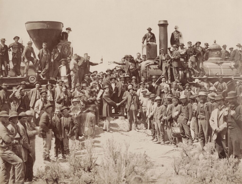
The Golden Spike was the last stake driven into a railroad tie linking the United States from East to West with a fast, comfortable and safe transportation system (at least in mid-19 Century terms). Instead of taking months to cross the continent, now the trip took a week. The Central Pacific Railroad built eastward from Sacramento, while the Union Pacific Railroad built westward from Council Bluffs, Iowa. The two lines met at Promontory Summit, not far from present day Ogden, Utah. Leland Stanford, President of the Central Pacific, drove the spike into the ground at 2:47 PM on May 10, 1869. An inscription on the spike read, “May God continue the unity of our Country as this Railroad unites the two great Oceans of the world.” The unity of the country referred to healing the wounds from the Civil War.
The golden spike was replaced by an iron spike, the railroad began operating, and the place was forgotten—especially after a 1903 bypass made that section of track obsolete. The tracks were dug up and recycled during World War II, and ranchers reused the ties. One woman, Bernice Gibbs Anderson, however, did not forget. A poet, historian and newspaper journalist, Anderson argued for decades that the spot deserved more than a single lonely stone pillar. Eventually, a private park was established, and, on July 30, 1965, the federal government took over, declaring it a national historical site (later renamed as a “park”). The National Park Service has re-built a section of track, and two replicas steam engines meet there, reprising the famous photo of 1869. More than 100,000 visitors trek to the location annually.
The park is wonderful, but the event is the real big deal. When the railroads met, the North American frontier closed. Horace Greeley’s admonition to “go West, young man,” didn’t work any longer—because people from the West were coming East to greet you. No longer did an unknown, unexplored, unexploited wilderness lie beyond the sunset. Now the West was no longer inexhaustible, but it had limits.
In a way, the driving of the Golden Spike could be called the beginning of conservation in the United States. People began to take notice of the condition of natural resources. The U.S. Fisheries Commission formed in 1871, to look into the decline of commercial fisheries. Yosemite was made a state park in 1864, and the first national park was created at Yellowstone in 1872.. The ideas of evolution took hold (remember, Charles Darwin published On the Origin of Species in 1859), a first step in the foundation of ecological science. John Muir roamed around California, noting the over-exploitation of the landscape. In Europe, similar rumblings were beginning in fisheries, forestry and land use.
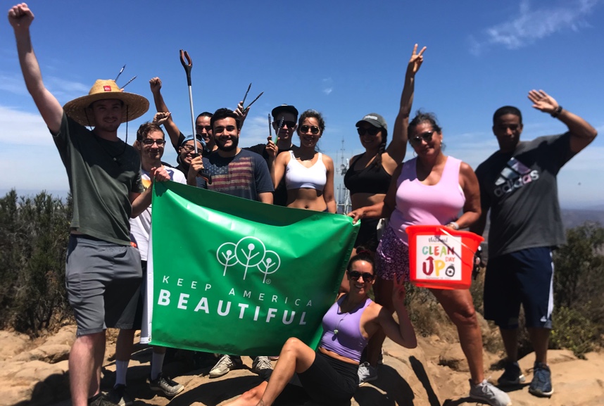
Read MoreApril is Keep America Beautiful Month
Back in 1971, The Keep America Beautiful organization teamed up with the Boy Scouts and Girl Scouts to create Keep American Beautiful Day. It was expanded in 1982 to a week, and then to the entire month of April in 1984. As spring takes hold of the weather and the landscape awaken with the greening of trees and grasses, the blooming of wildflowers and the melodies of nesting songbirds, we, too, ought to take special notice of our beautiful environment—and do something to, as they say, keep it beautiful.
Read More